Railroad Grade is a hike that skirts the lateral moraine of the Easton glacier of Mount Baker. This was my first hike with the SnoKing Happy Hikers group; my friend Brenda introduced me to this fun group. The route starts with a walk in the woods and then a stream crossing on the trail to Park Butte. Luckily, the bridge was in place! After a few miles of walking, there’s an intersection; we turned upward on Railroad Grade. After about a mile of climbing, we took a side trail to the shaded High Camp area where I had nice lunch with Carol, Brenda and Ed. We saw lots of nature: marmots, butterflies and lots of intriguing plants.
Route up Railroad Grade (purple) recorded by Gaia navigation app, plotted using CalTopoHappy Hikers ascending Railroad GradeSiesta view of Mount Baker from High Camp
After lunch and a siesta, Brenda and I continued up to the trail to the climbers camp at 5800 feet. We explored this alpine, rocky area. We scrambled up the rocks alongside the glacier; I eventually went up to about 6400 feet while Brenda decided to stay a bit lower. We saw lots of climbers, many of them practicing climbing skills on Easton glacier. After a few hours up high, we descended down to the high camp area for dinner. We then decided to walk out. We had a little navigation challenge after crossing the bridge but after a few minutes we spotted the trail into the woods and out to the car. This was a great first hike with the Happy Hikers, a group I hope to do many more hikes with.
With a name like Easy Pass, it must be easy… perhaps in a relative sense.
Summary
On 28 July 2018 I set out with my friends Linda, Roger and Rob on my third UltraPedestrian Wilderness Challenge EasyPass. We fastpacked the route, starting at Easy Pass trailhead and camping overnight at Junction camp. We finished the next day at Colonial Creek campground. My elapsed time was 28 hours 51 minutes. Overall, it was a wonderful 40 km trip, despite hot weather and a plethora of flies.
Easy Pass to Colonial Creek Route
Easy Pass route
Details
We set out from the Easy Pass trail at 8:01 AM on 28 July.
Intrepid UltraPedestrians John, Linda, Roger and Rob
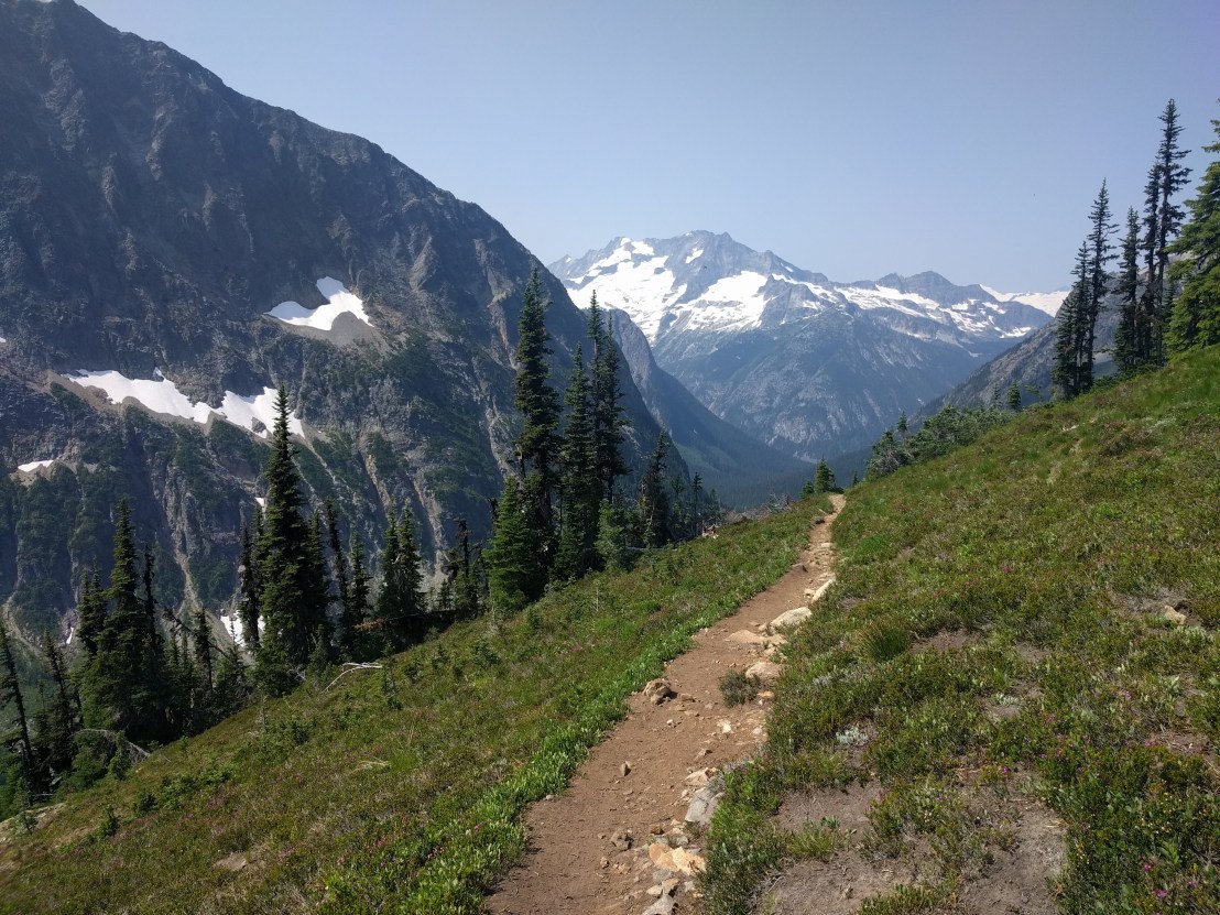
Our route up the Easy Pass Trail climbed up steeply for about 6 km, until we reached 2100 meter Easy Pass. Near the top, there was an observation camera from the Cascade Carnivores project; situated to look for wolverines, martens and other rare carnivores.
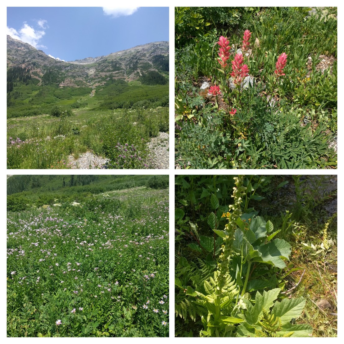
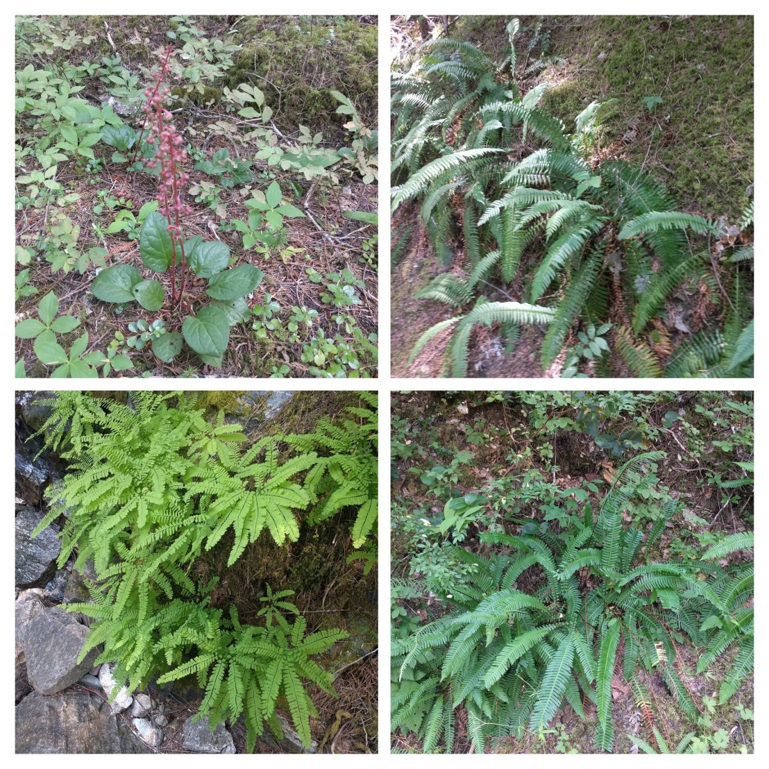
After a nice rest and a bit of exploring at Easy Pass, we headed down switchbacks into Fischer Basin. During the day, I made more than 40 botanical observations. This entire section had some spectacular views.
Had a nice brekky and some great views of the mountains. Around 8 Am, we started descending down the Thunder Creek trail. The forest ecology during the descent was quite different and I made about 30 botanical observations on 29 July.
Thunder Creek was ragingLooking East from Easy PassLooking West from Easy Pass
As we walked through the Fischer Creek basin we moved from alpine to meadow and then forest ecosystems.
Fischer Basin alpine meadow descending from Easy PassForest Ecosystem
About 2 km east of Junction Camp we encountered a gnarly section of trail. There was a poor run-out if one should slip and the trail was eroding as we walked on it. Looking back, we light have been better to climb up and around this segment.
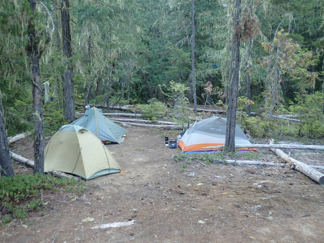
We reached Junction Camp, having walked about 23 km from the Easy Pass trailhead. Along the way, we took a number of breaks due to the heat. I didn’t bring a thermometer but I’d estimate it was more than 31 degrees. I had a leisurely dinner and a good nights rest. I borrowed a bear vault from the Parks Service to store my food. (Concerned about bears and other creatures getting into my food).
Mountain View from Junction Camp, maybe Tricouni Peak, with hanging glacier?
Had a nice brekky and some great views of the mountains. Around 8 Am, we started descending down the Thunder Creek trail. The forest ecology during the descent was quite different and I made about 30 botanical observations on 29 July.
Forest ecology on Thunder Creek trail
I was out at the Colonial Creek trailhead at 12:51 PM, elapsed time was 28 hours 51 minutes. Overall, this was a great two day fastpack trip and another fun UltraPedestrian Wilderness Challenge. Not running allowed me to observe the ecology closely while enjoying the company of three excellent companions. Next UPWC trio is Alpine Lakes Grand Tour starting on 2 August 2018, 4 days after the Easy Pass challenge.
Lessons Learned
First time using Gaia app on my phone. Gaia worked well and I was able to download .gpx and .kml files.
Decided to use a bear vault, added several pounds of weight. My base weight was about 11 kg. without food and water. I am going to lighten up a bit for nest backpack.
Brought a battery pack and was able to recharge my phone. Unfortunately, forgot the correct adapter for my camera so my photos were mostly lower quality cell phone images. I had been hoping to obtain some high quality macro images with my new Olympus TG-5 camera.
Instant mashed potatoes are delicious.
Made sure to keep drinking plenty of water with electrolytes, I felt great on this hike.