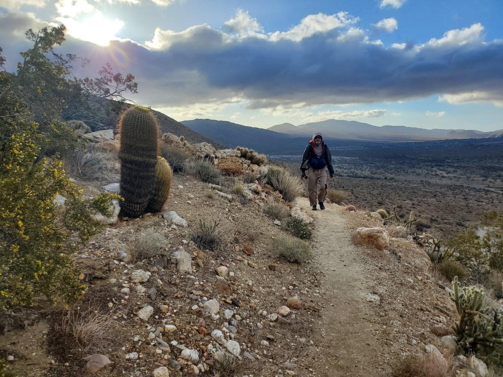
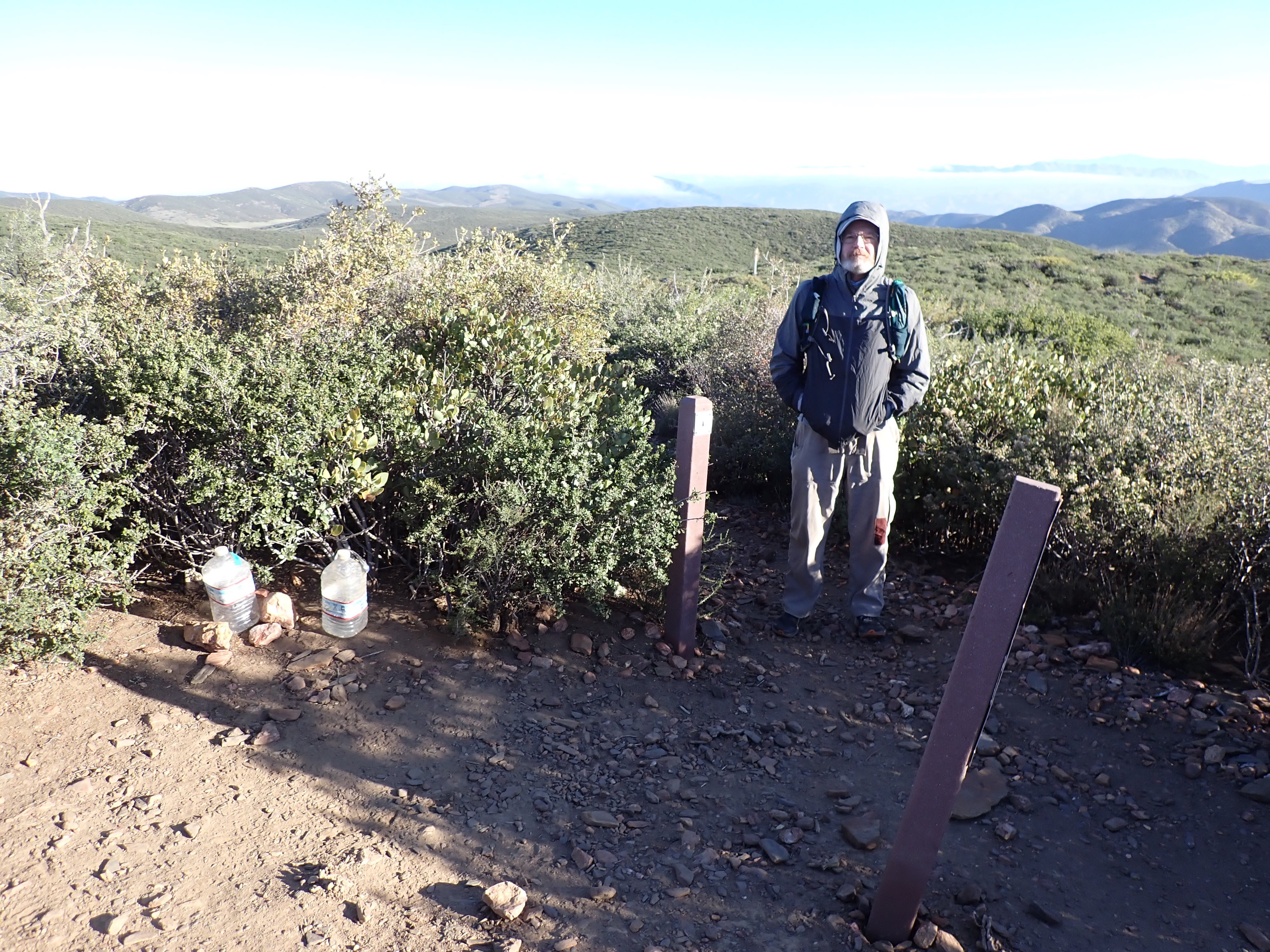
Our last day of section hiking was an easy eight miles. We’re well-practiced in the morning routine and on the way to the trail near dawn. On the way, we encounter a hiker and give her a ride to Ranchita. We learn that she’s from Denmark and is hiking 700 miles of the PCT. She and I posed with the Ranchita Yeti.

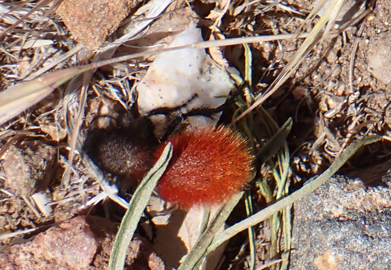
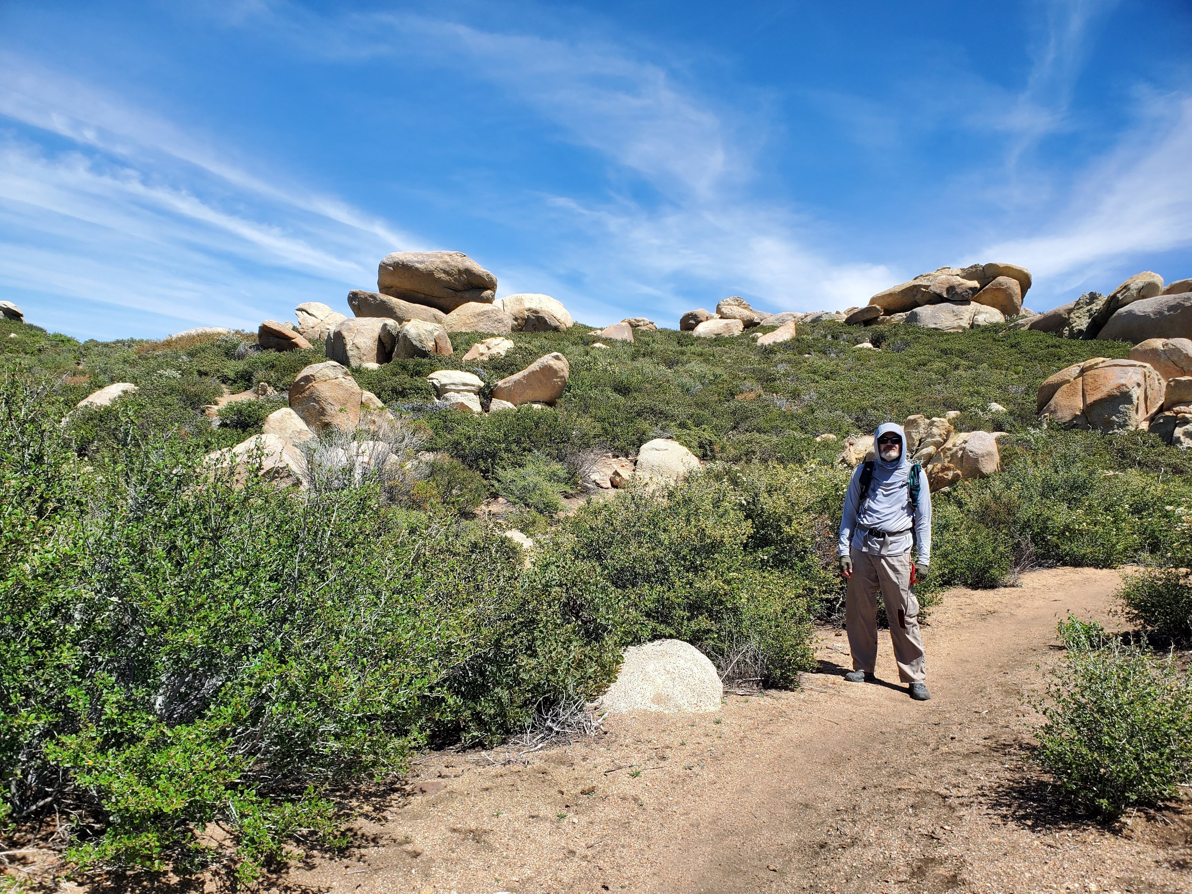
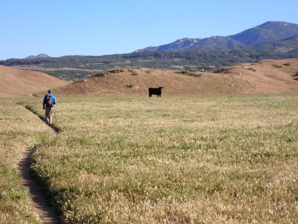
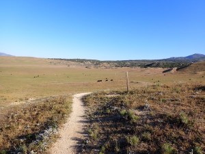
Mike and I hit the Montezuma Valley trailhead and set off for Warner Springs on a cold and clear morning. We had an exciting wildlife encounter: grazing cattle. These bovines didn’t seem to want us in their area. Mike led the way as we navigated the herd without incident.
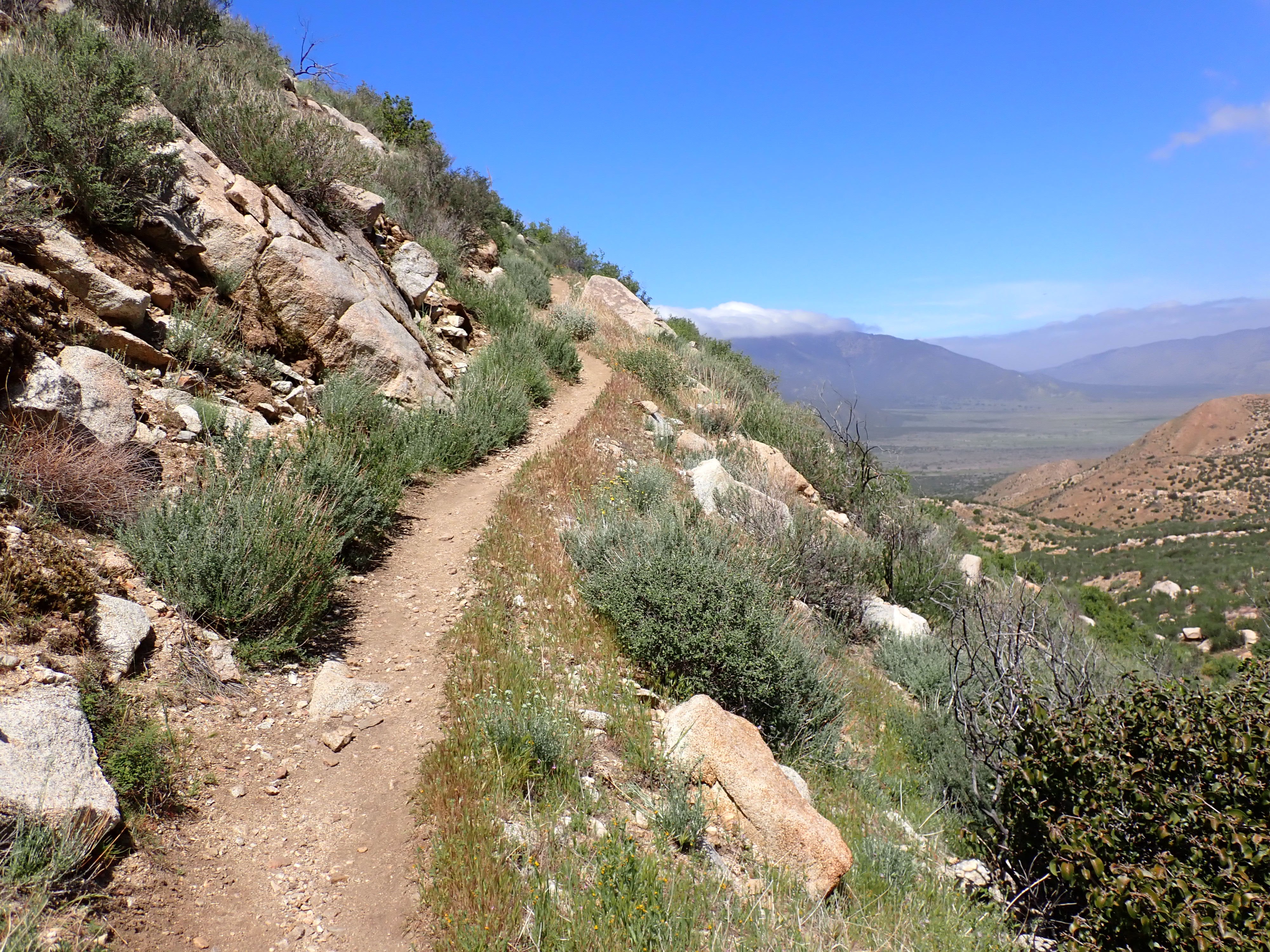
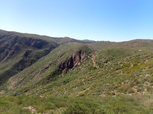
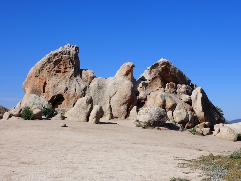
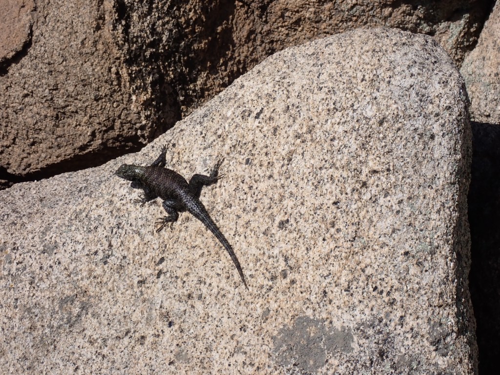
In the distance, we started to see Eagle Rock, a prominent feature alongside the trail. We got here early and had the rock to ourselves and the lizards for a pleasant 15 minutes. We met several groups day hiking to Eagle Rock from Warner Springs as we walked out.
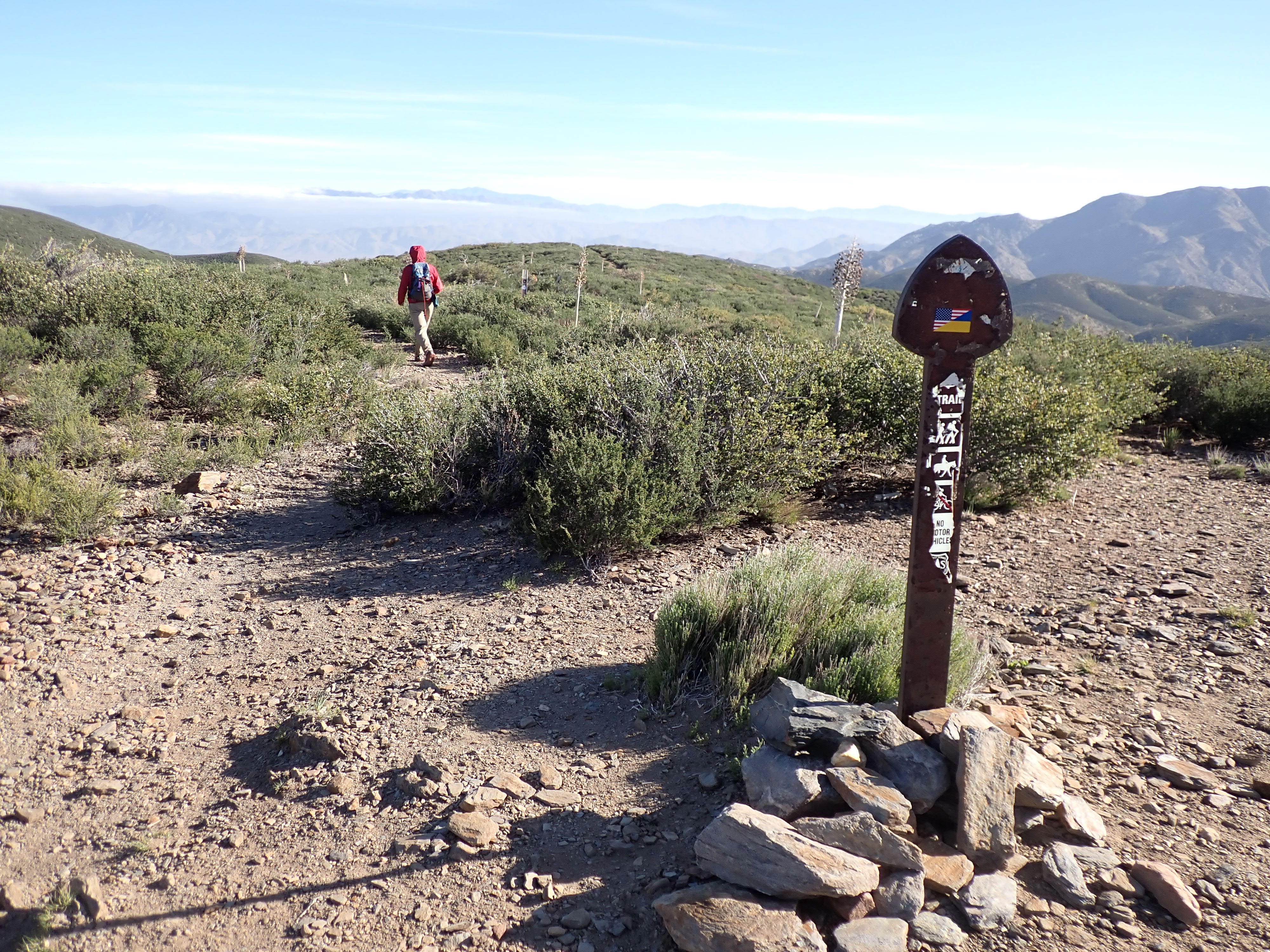
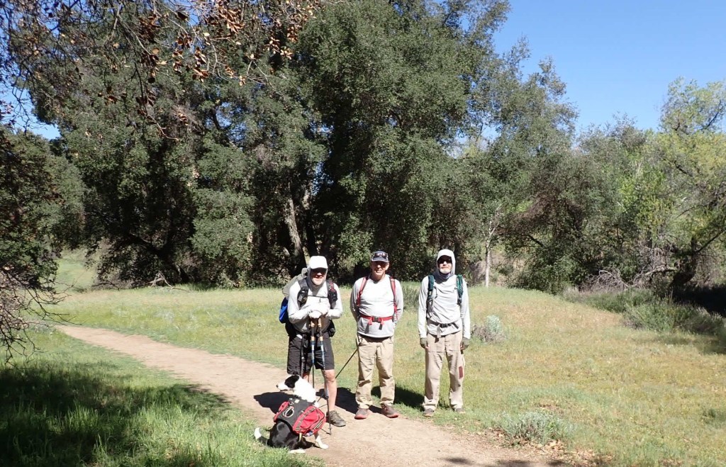
We talked a few minutes with a thru-hiker with the trail name Incline. He’s hiking the trail with his dogs; his wife has been accompanying him in an RV. I suggested a trail name for his wife: Recline.

Mike and I made it to Warner Springs at about 1030. There wasn’t must to see here; everything was closed. We were happy to complete our hike as planned. Our walk covered about 4% of the PCT (110/2650). Here’s a summary:
| Date | Day | Start | Finsh | Miles | Gain (ft) | Loss (ft) |
| 4/8/2022 | 1 | Campo | Lake Morena County Park | 20 | 3160 | 2990 |
| 4/9/2022 | 2 | Lake Morena | Desert View (Mount Laguna) | 22.6 | 4750 | 1880 |
| 4/10/2022 | 3 | Desert View (Mount Laguna) | Sunrise Trailhead | 16.9 | 2610 | 3560 |
| 4/11/2022 | 4 | Sunrise Trailhead | Scissors Crossing | 17.8 | 1540 | 4280 |
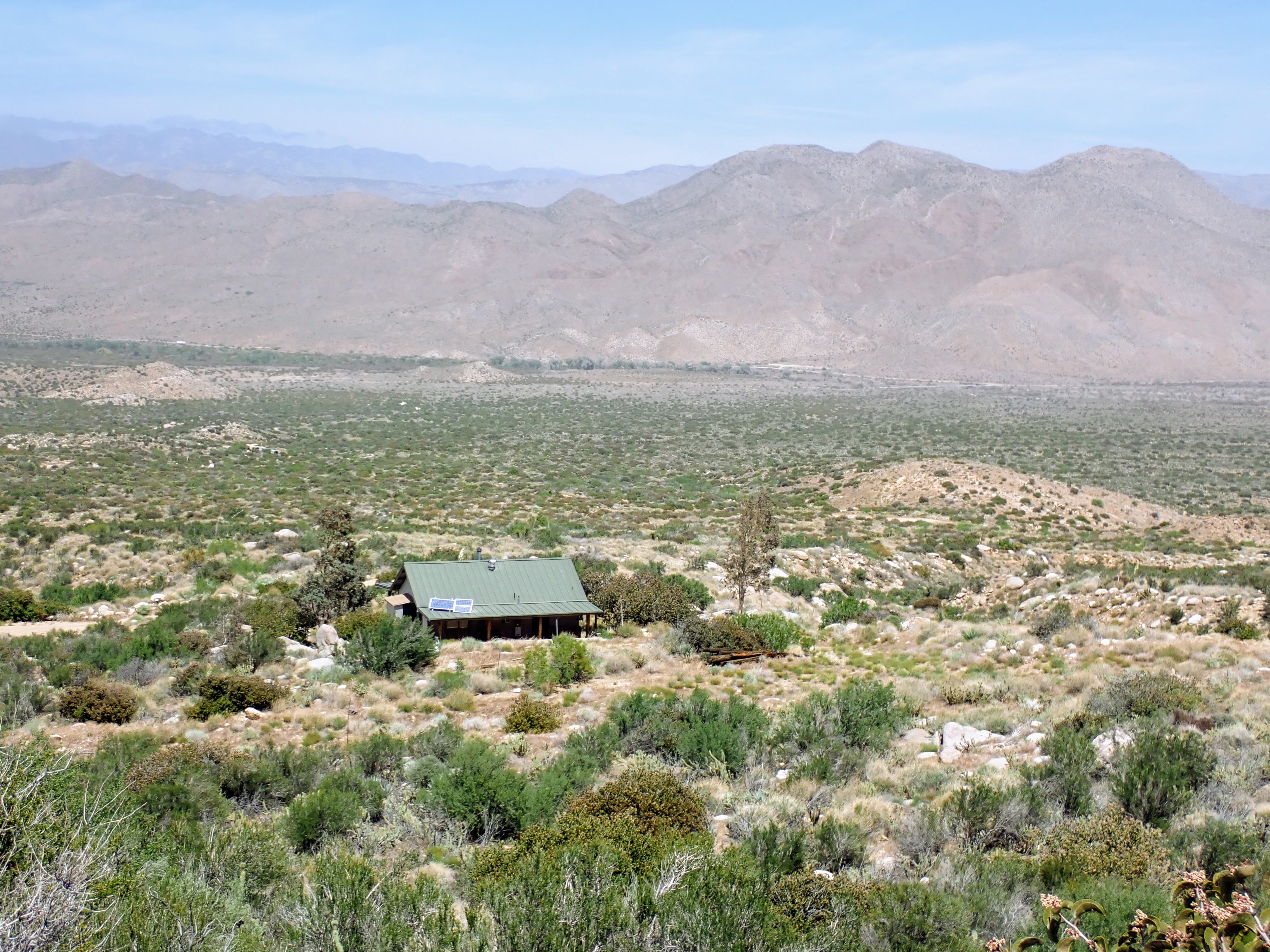
| 4/12/2022 | 5 | Scissors Crossing | Montezuma Valley Road | 23.9 | 3670 | 2480 |
| 4/13/2022 | 6 | Montezuma Valley Road | Warner Springs | 8.3 | 1200 | 1600 |
| Total | 109.5 | 16930 | 16790 |
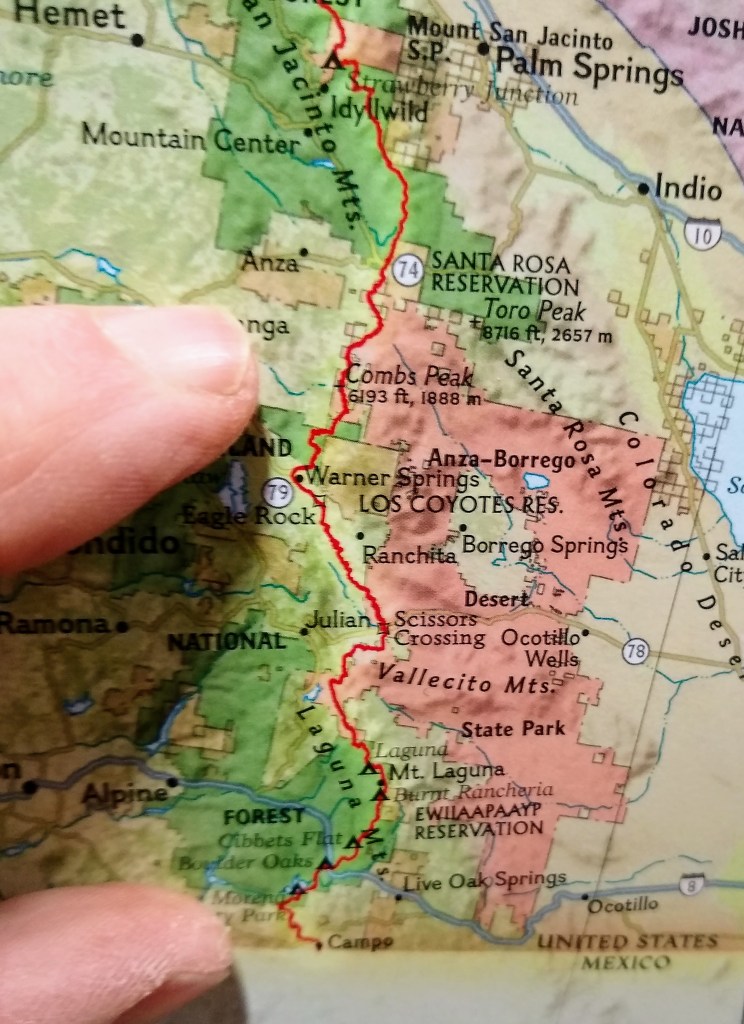
Another way to visualize this section hike is to look at a map. The map on the right shows the entire PCT through California, Oregon, and Washington. My fingers cover the section of California that we did.
Our next section hike will be Oregon Section A in June 2022, covering 82 miles in 4 days. We will start at the California border.

Mike and I split in Warner Springs; he would explore more of Southern California with his car. I headed over to visit my nephew at Cal State San Marcos. I ate several burritos while we talked and then got a campus tour. After that, pedal to the metal for the drive north to Seattle.