Tag: PCT

Practical SoCal PCT Section Hiker Guide

Practical SoCal PCT Section Hiker Guide

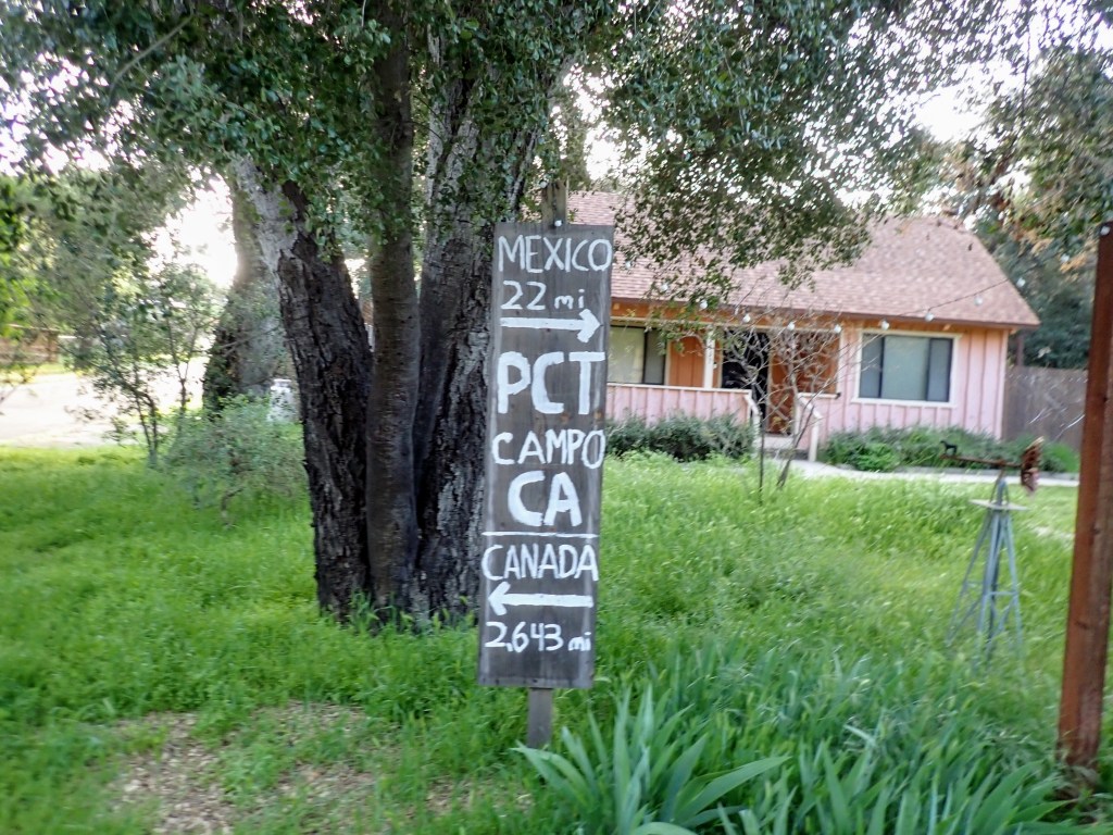
I found Hiking the Pacific Crest Trail: Southern California: Section Hiking from Campo to Tuolumne Meadows by Shawnté Salabert a helpful reference while hiking 110 miles of California Section A of the PCT in April 2022. The author starts with a 60-page introduction covering the history and logistics of hiking the 943 miles of the Southern California PCT. It’s worth reading, even for experienced hikers. 

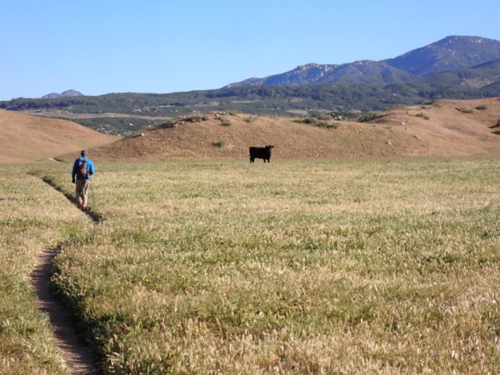
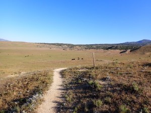
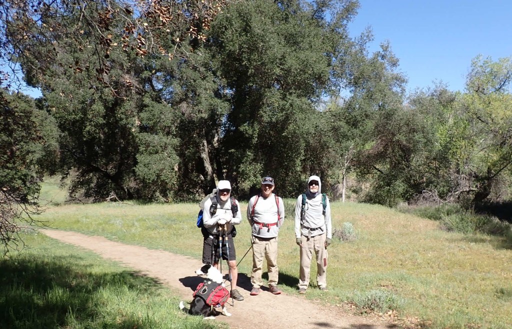
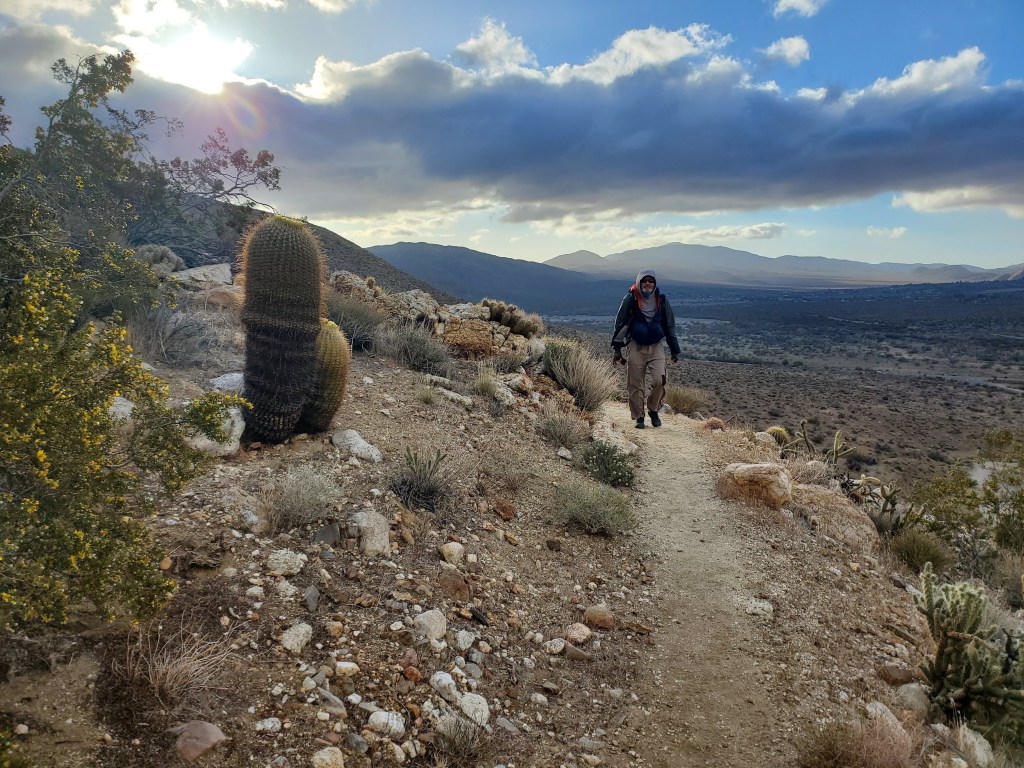
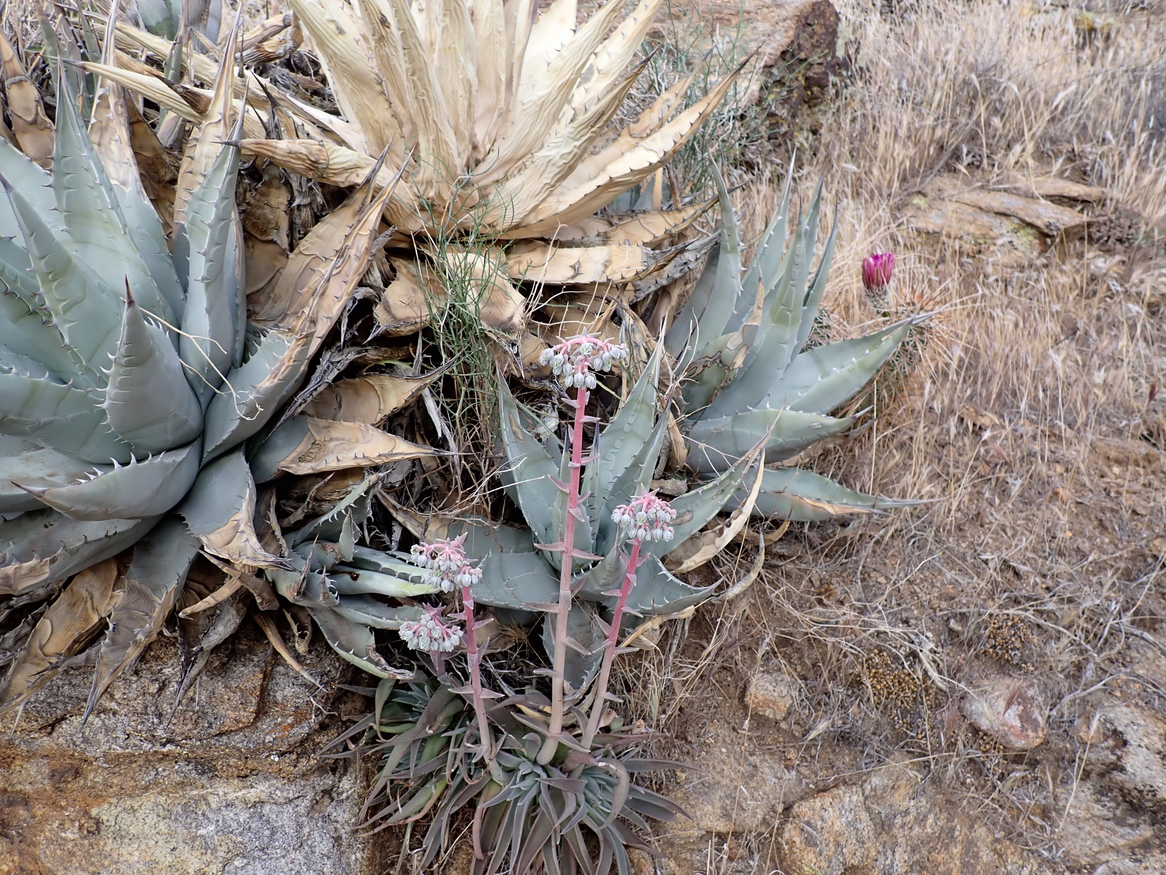
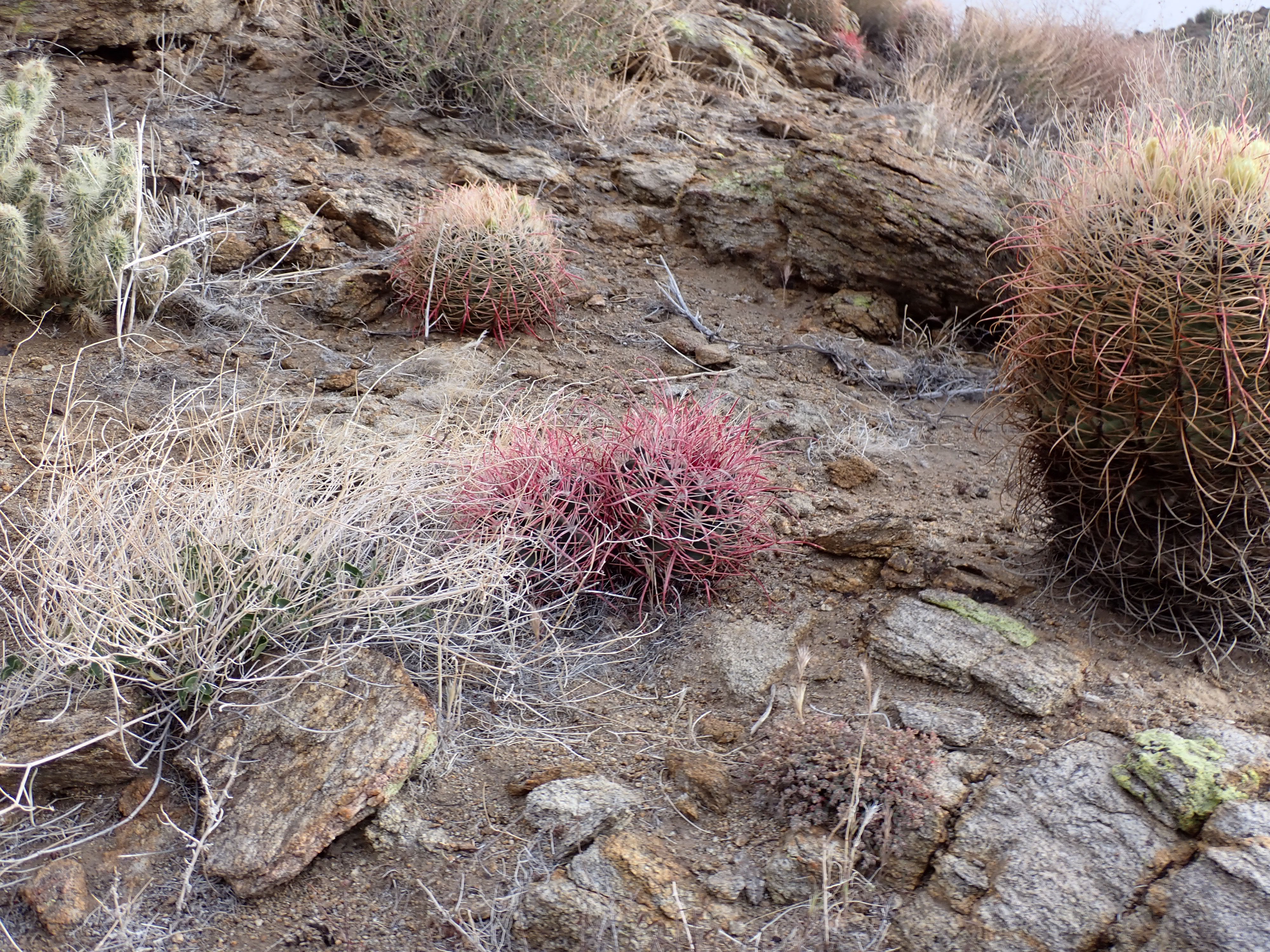
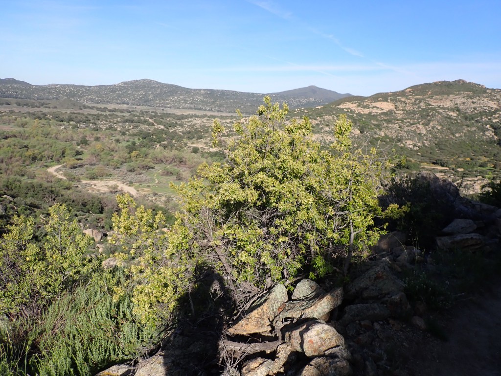
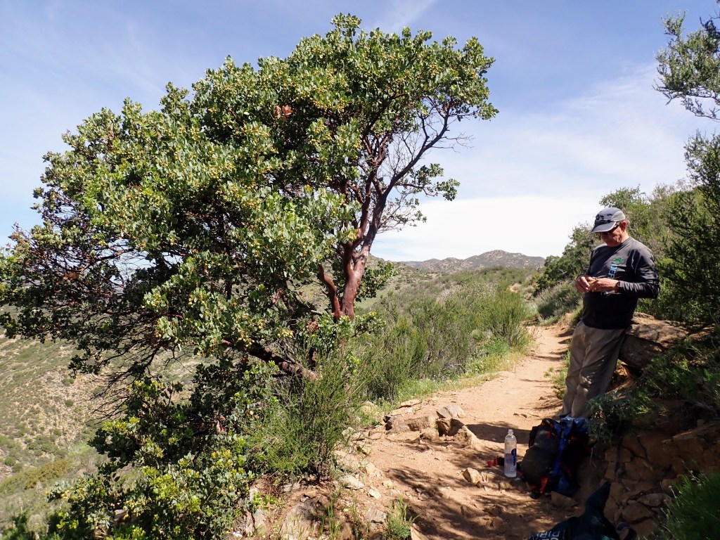
The following ten chapters, each roughly 60 pages, describe the sections that comprise the Southern California PCT. In our April 2022 six-day hike of Section A (from Campo to Warner Springs), I found it helpful to read the description before the day’s hike. Here’s one great example: “The climb out of Hauser Canyon is serious business – you face over 1000 feet of elevation gain in about 1.5 miles. Dehydrated, overheated, and underprepared hikers are rescued near here every single year; sadly, one hiker died after making the grueling climb in 2014. Consider timing your ascent for a cooler time of day, make sure you’re hydrated, and ensure that you eat enough to keep your motor running.” I can attest to the truth of those words (See Day 1 Hiking PCT Section A SoCal April, 2022).

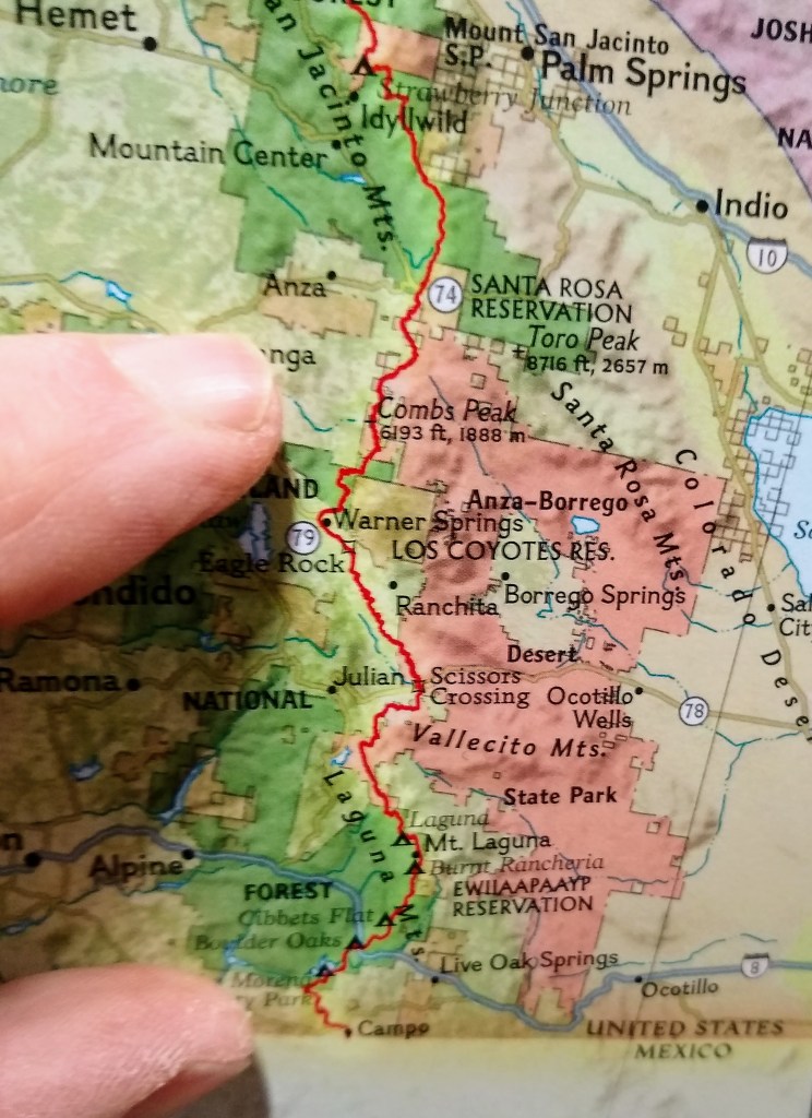
The maps were effective for planning. Each chapter had an overall map that divided the section into legs based on distance and elevation.

The author suggested itineraries of varying lengths and times to cover an entire section. For example, she recommended trips of 7 to 9 days to walk from Campo to Warner Springs. Being a little crazy, we did this in six days; however, we used her legs for planning. Each leg had its maps, which I appreciated. While writing in my blog about the adventure from Campo to Warner Springs, the chapter photos and maps refreshed my memory. 

The author’s description of the section hikes of the Sierra, from Cottonwood Pass to Tuolumne Meadows, also matches my memory of my past tramping in this region. The book finishes with some valuable appendices, especially the description of trail towns and services.

Recommend this book for section hikers in Southern California; my rating is 4.5 stars. I read the paperback book but subsequently bought and reviewed the Kindle version. 

Day 6 Hiking and Summary of PCT Section A SoCal April 2022

Day 6 Hiking and Summary of PCT Section A SoCal April 2022

Our last day of section hiking was an easy eight miles. We’re well-practiced in the morning routine and on the way to the trail near dawn. On the way, we encounter a hiker and give her a ride to Ranchita. We learn that she’s from Denmark and is hiking 700 miles of the PCT. She and I posed with the Ranchita Yeti.

Mike and I hit the Montezuma Valley trailhead and set off for Warner Springs on a cold and clear morning. We had an exciting wildlife encounter: grazing cattle. These bovines didn’t seem to want us in their area. Mike led the way as we navigated the herd without incident.

In the distance, we started to see Eagle Rock, a prominent feature alongside the trail. We got here early and had the rock to ourselves and the lizards for a pleasant 15 minutes. We met several groups day hiking to Eagle Rock from Warner Springs as we walked out.

We talked a few minutes with a thru-hiker with the trail name Incline. He’s hiking the trail with his dogs; his wife has been accompanying him in an RV. I suggested a trail name for his wife: Recline.

Mike and I made it to Warner Springs at about 1030. There wasn’t must to see here; everything was closed. We were happy to complete our hike as planned. Our walk covered about 4% of the PCT (110/2650). Here’s a summary:

DateDayStartFinshMilesGain (ft)Loss (ft)
4/8/20221CampoLake Morena County Park2031602990
4/9/20222Lake MorenaDesert View (Mount Laguna)22.647501880
4/10/20223Desert View (Mount Laguna)Sunrise Trailhead16.926103560
4/11/20224Sunrise TrailheadScissors Crossing17.815404280
4/12/20225Scissors CrossingMontezuma Valley Road23.936702480
4/13/20226Montezuma Valley RoadWarner Springs8.312001600
Total 109.51693016790
Summary of PCT California Section A Hike – Miles, Gain and Loss are from Hiking the Pacific Crest Trail: Southern California by Shawntee Salabert

Another way to visualize this section hike is to look at a map. The map on the right shows the entire PCT through California, Oregon, and Washington. My fingers cover the section of California that we did.

Our next section hike will be Oregon Section A in June 2022, covering 82 miles in 4 days. We will start at the California border.

Mike and I split in Warner Springs; he would explore more of Southern California with his car. I headed over to visit my nephew at Cal State San Marcos. I ate several burritos while we talked and then got a campus tour. After that, pedal to the metal for the drive north to Seattle.

Day 5 Hiking PCT Section A SoCal April, 2022

Day 5 Hiking PCT Section A SoCal April, 2022

We started our longest hike today, close to 24 miles. It’s a fair distance, but Mike and I feel dialed in after doing 77 miles in the previous four days. The weather was cold and windy as we emerged. We set out from our hotel and placed our vehicles. Along the way, we picked up a thru-hiker from near Austin, Texas. He had spent a miserable night; his tent had nearly blown down. We got him into Julian and headed back to Scissors Crossing.

We launched out geared up for cold and windy conditions. The sky was gray as we climbed up the San Felipe Hills. The first mile is a bit steep but not too demanding. A rainbow makes the hiking pleasant; it persisted for the next 45 minutes. Our hiking is through the Anza-Borrego Desert State Park for the next ten miles.

We head onward and upward through a desert garden. There are many cacti and other plants in bloom. It’s some beautiful botanizing, but we keep moving. It does take relentless forward progress to rack up 24 miles.

I notice a red, fuzzy insect, like a crawling bumblebee, as I’m sitting. It’s called a velvet ant, actually a parasitic wasp Genus Dasymutilla. I have observed a velvet ant only once before. Their bright color lets other animals know to avoid them; they have an excruciating sting. The sting of a velvet ant is classed as a 3 on the Schmidt sting pain index. Let me say that I decided it was a good time to stand up and shake out my pants and pack!

The rest of this hike was a bit of a blur. We went up for a while more. Next, we headed down for six or seven miles of afternoon hiking down a forested canyon. I was in the groove; I just put one foot in front of the other. Finished up at Barrel Springs, got our cars, and headed back to Julian for yet another delicious pizza and a good night’s rest. Tomorrow will be an easy day of about 8 miles into Warner Springs.

Day 2 Hiking PCT Section A SoCal April, 2022

Day 2 Hiking PCT Section A SoCal April, 2022

We woke up at 5 AM today, made coffee, had a light breakfast and we were out the door by 6 AM. That was to be our routine for the rest of the hike. Today’s leg is from Lake Morena to Desert View (Mount Laguna), about 22 miles. We set out for Mount Laguna in both cars; parking one vehicle at Desert View picnic area and then driving back to the PCT trailhead near Lake Morena State Park. We start out briskly, savoring the cool temperatures.

Yet another sign, next to someone’s house

We are hiking through a relatively flat section that’s next to private land. The next few miles we are going over a small hill. Later in the day, we’ll be gaining some more serious elevation. On the other hand, none of the PCT is very steep – it’s designed for horses and humans. Another thing that strikes me is how green the hills are along the trail.

Looking down on the PCT – we have a mountain to climb ahead

Crossing Under Old Highway 80

We hit Boulder Oaks campground after about six miles; a nice place for a snack and there’s water available. We talk to some fellow hikers: a wife and husband originally from Bellingham, Washington. They have decided to thru-hike the trail and then they will see where life leads them. I hope to see them in the North Cascades this fall.

Leaving the interstate behind and heading upward

We cross under Interstate 8 – the main highway into San Diego from the east. After that, we start a gentle climb upwards. The next 16 miles were to be in wilderness, much nicer hiking. We take a few breaks in the shade, there’s some large manzanita along the trail.

Mike and manzanita – the bark of this tree is like mahogany

We head upward and cross a minor road. On the side, I saw my first and only rattlesnake of the trip. It was a flattened juvenile.

Juvenile rattlesnake – dead on road

Onward and upward we go. We are in a different terrain and I spot some flowers that are a favorite of mine. They are a species of paintbrush (genus Castilleja). As many of my hiking friend know, I stop early and often for nature photos. I will have a separate post on my natural observations along this Section of the trail.

Orange paintbrush (genus Castilleja)

We see some hikers below us; they are swimming in Kitchen Creek. Seems like a nice idea but it would involve a hike down and a climb up again. We decide that we’ll leave that creek to the youngsters down below. Onward and upward. We reach the Fred Canyon trailhead, which is the turnoff to the Cibbets Flat campground. We had contemplated this as a lunch spot. Lo and behold, there’s some trail magic here! A couple of families set up here with a nice sunshade. They gave us lunch and cold drinks. It was mighty nice. We talked with them and some of the other hikers. We had some wind, at one point the sunshade almost went airborne.

Trail Magic 🙂

Well, off we go towards Mount Laguna. We have some fine walking, it was mainly a gentle upward grade. Eventually, we were in a pine forest. They looked like Ponderosa Pines to me but later Mike figured out they were Jeffery Pines. These trees provided some nice shade. The last few miles were through the forest and we came out at the car.

I was a hungry hiker! We visited the Mount Laguna store where I bought a few snacks. The prices were fairly steep here so I just bought a snack. Next, we drove over to the Pine House Café. The people running it were French – food was delicious. I also had room for a substantial slab of apple pie. After that, back to get the second car and over to the hotel.

For the day, we had hiked more than 22 miles with roughly 4000 feet of elevation gain. A pretty good day of hiking with more to come. Tomorrow would be a little easier day: about 17 miles from Desert View (Mount Laguna) to Sunrise Trailhead.