My wife and I went on a ten-day cruise around the UK in late spring 2023, with stops in Scotland, Wales, Ireland and England. Whenever I could, I tried to explore on foot. On our first stop, I did a nice urban hike around Edinburgh, Scotland. My last visit to the city was back in 2006. I wanted to visit Arthur’s Seat and the Royal Mile. I also had a mission to get my wife a new folding cane; I forgot her cane when we left home zero dark early for the airport. Well, at least we remembered our passports!
The day started with dismal weather; I was glad for a rain jacket and wool gloves. I caught a tender from the boat into the harbor and a bus from the cruise ship terminal into the city. In hindsight, I should have walked from the pier and skipped the expensive bus ride offered by the cruise line. Oh well, another lesson learned.
I started from Queen Charlotte Square, intending to wander over to Arthur’s Seat. The city was hectic, but I got off the beaten path quickly. I navigated using the Gaia mapping app; it worked well for the entire trip. My first stop was Greyfriars Kirkyard Cemetery; I found the design of the old gravestones interesting.

I spent ten minutes exploring. I realized I needed a second breakfast and a toilet. The University of Edinburgh was close, so that would be my next stop. I found respite at Levels Cafe; it made for a nice break. It’s part of the University of Edinburgh; there was an excellent food selection and good coffee. I had a touch of jet lag; a large Americano cleared my head. I mainly eat a plant-based diet but I couldn’t resist an almond croissant this morning. I’m a flexitarian when it comes to sweets.

Suitably fortified, I was off to Holyrood Park and Arthur’s Seat. It’s pretty easy to spot.

There are multiple approaches to Arthur’s Seat as seen on my Gaia map.

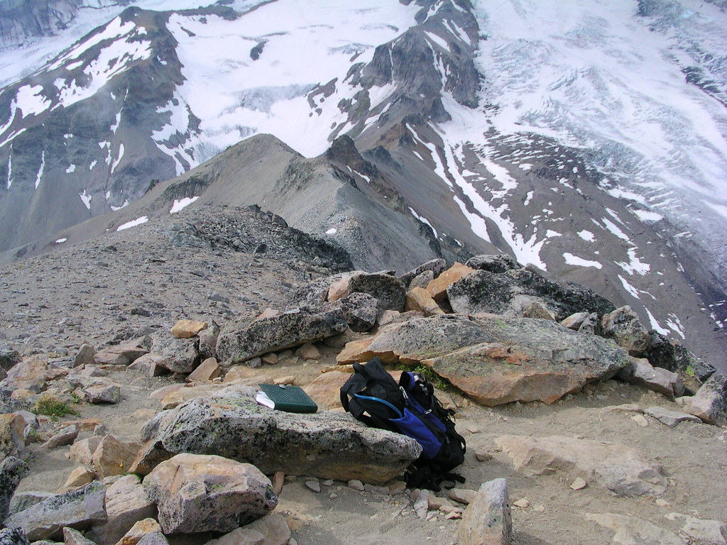
I went about halfway around the circumference of the park and then started up just past Raven’s Rock. I missed stopping at Hutton’s Section, an area I had explored back in 2006. I’m not certain but I think the trail was closed here. I took a reasonably direct ascent via rough steps on the way up. I took a much gentler path on the descent.


I like exploring volcanic areas; Arthur’s Seat is the remnant of a volcano from 330 million years ago. Scottish geologist James Hutton used the rock in this area to support his theory that we can infer ancient geology from modern rocks. I focused on geology on my first trip here in 2006. Today my goal was a walk in the park, hoping to get an overview of the city. Sadly, the weather didn’t cooperate. Still, it was a worthwhile urban hike.

Next, I headed to Edinburgh City Center. I walked up and down the Royal Mile with a side trip to a Boots pharmacy at the train station to see if I could find a cane. No cane but I found out that I needed a medical mobility shop, and I located a shop that was on my way back to the ship. An unintended benefit, I saw the Azuma or British Rail Class 800 high speed train that travels between London and Edinburgh as part of the London North Eastern Railway. It can travel up to 200 km/hour.

I headed back up to the Royal Mile via one of the many alleys of Edinburgh. These are convenient connectors that I enjoyed exploring, I wan’t always sure where I would pop out.

I stopped at a statue of Adam Smith, an economist I can understand. Perhaps the only economist I can understand.

Nearby is a statue of philosopher David Hume. Hutton, Smith, and Hume were three significant contributors to the Scottish Enlightenment – an 18th-century group that advocated for rational thinking. Here’s a better description from Wikipedia:
“…. the thinkers of the Scottish Enlightenment asserted the importance of human reason combined with a rejection of any authority that could not be justified by reason. In Scotland, the Enlightenment was characterized by a thoroughgoing empiricism and practicality where the chief values were improvement, virtue, and practical benefit for the individual and society as a whole.”
Central Edinburgh is a busy place. I was impressed with the number of bicyclists I saw on the major roads such as this intrepid soul:

Back to reality, it was time to head back towards my ship. One doesn’t want to be left behind in Edinburgh. So, I beat feet on a brisk walk to obtain a cane. On the way, I came across some giraffe statues, I felt as if I was back in Tanzania.

I made it to Edinburgh Mobility Solutions, they were great. After I got Mary Ellen a nice folding cane, I sat right down and wrote a review of this helpful business. I don’t know about you but for me it’s now or never when it comes to writing a review.
Next, I headed towards the water on a random walk. Along the way, I happened upon Edinburgh Community Bookshop. Yes, I did buy two books and a map of greater New York, circa 1964.


Next, it was time to head to the harbor. But, slight problem, I wasn’t certain exactly where I came to shore. So, I made my way towards the Leith harbor area where the retired royal yacht Britannia resides. There were a few other interesting ships docked here. Unfortunately, this wasn’t the place where I started. Fortunately, I didn’t have far to go.


After a twenty minute walk, I was back to the tender embarkation point for the 15 minute trip back to the ship. It was a satisfying urban hike covering about 12 miles (20 km). Next, I’ll cover a walk in Invergarden, Scotland.